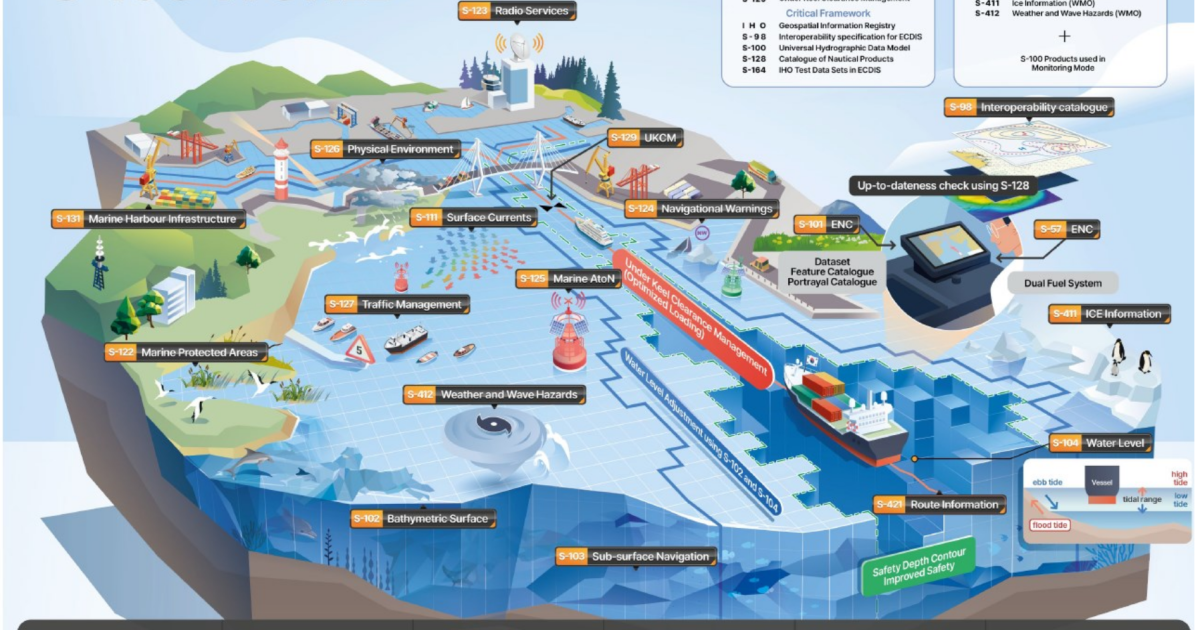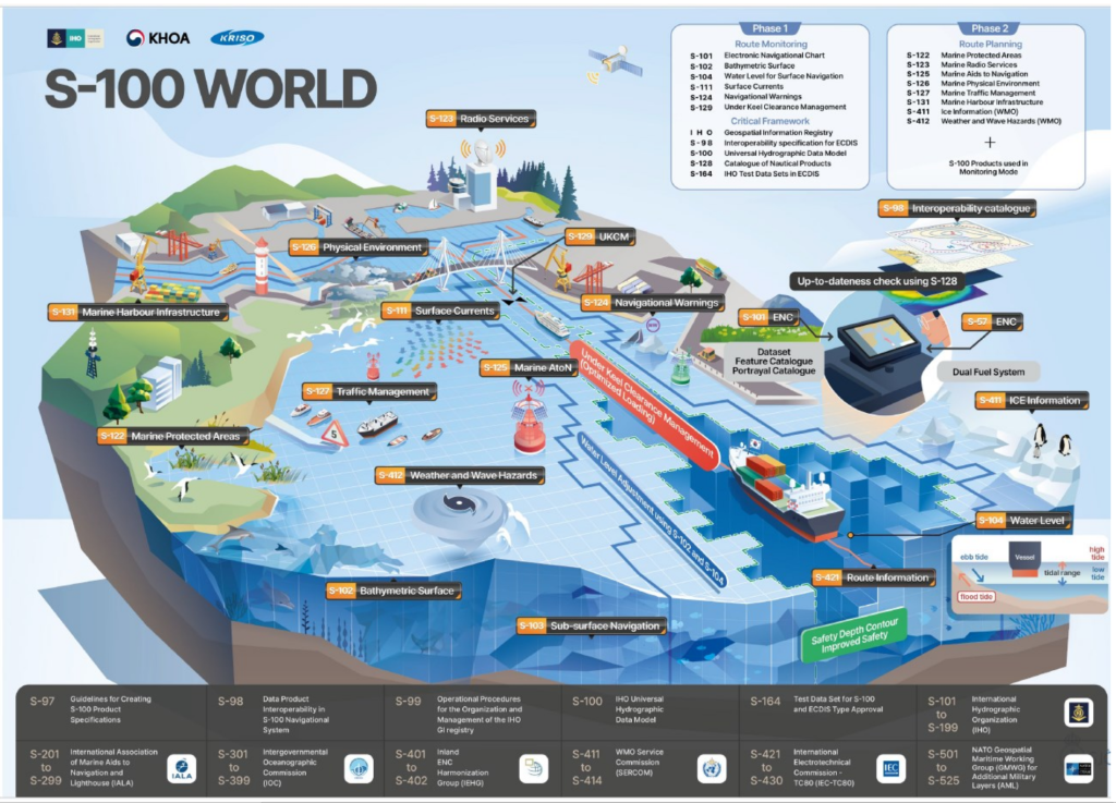
The S-100 data model takes the navigation for watercraft to a new level of safety and helps people prepare for the introduction of autonomous vessels. In the future, navigation will no longer be based on a single specialised product, but will instead be a comprehensive set of spatial data, dynamic observation data, and forecasting services.
By combining static data sets such as electronic charts (S-101) and bathymetric surface models (S-102) with dynamic data such as water level information (S-104), surface currents (S-111), and under keel clearance (S-129), it is possible to create a complete overview of the three-dimensional position of a watercraft in space and its safe route in coastal conditions, creating the necessary basis for the wider use of unmanned vessels. In addition, it has a significant impact on both economic efficiency and the environmental footprint.
To date, Estonia has published and entered a total of 113 S-102 (bathymetric surface model), 8 S-104 (water level information), and 8 S-111 (surface currents) data sets into the PRIMAR product catalogue. The PRIMAR product catalogue can be found HERE. Canada has also begun publishing the same products.
PRIMAR is one of two global centres whose purpose is to provide electronic navigational charts and other digital data necessary for navigation. It is managed by the Norwegian Hydrographic Service.
The Primar Regional Electronic Navigation Chart Distribution Centre has a total of 18 member states. In addition to Estonia, the Baltic Sea countries represented are Latvia, Lithuania, Finland, Sweden, and Poland.